Landscape
Hope Valley Turning
 Here’s a shot of Hope Valley turning colors. The runs of golden yellow are the aspens interspersed among the evergreens.
WHOA!
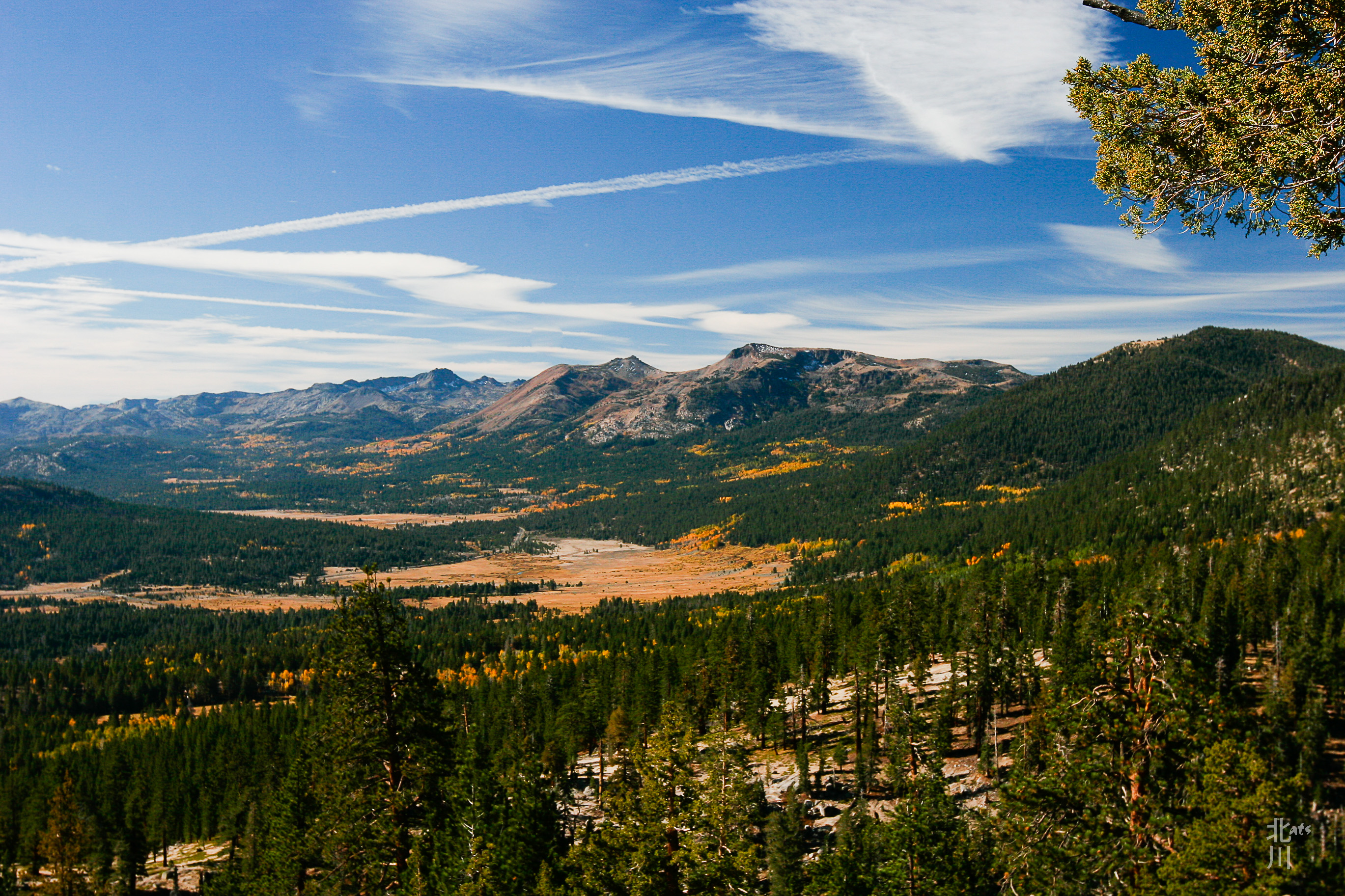
 Got near the top of the hillside and looked back at the view. Whoa! Amazing view of Hope Valley below!
Limited Visibility
 The Mt. Rose trail starts out around 8800′ in elevation and climbs steadily with views over Tahoe Meadow and Lake Tahoe. Inclement weather brought cloud cover over the lake and limited the visibility. Towards the end of our hike, the weather changed from patchy clouds, to cloudy, to light snow all within a couple of hours.
Trailblazing Pup II
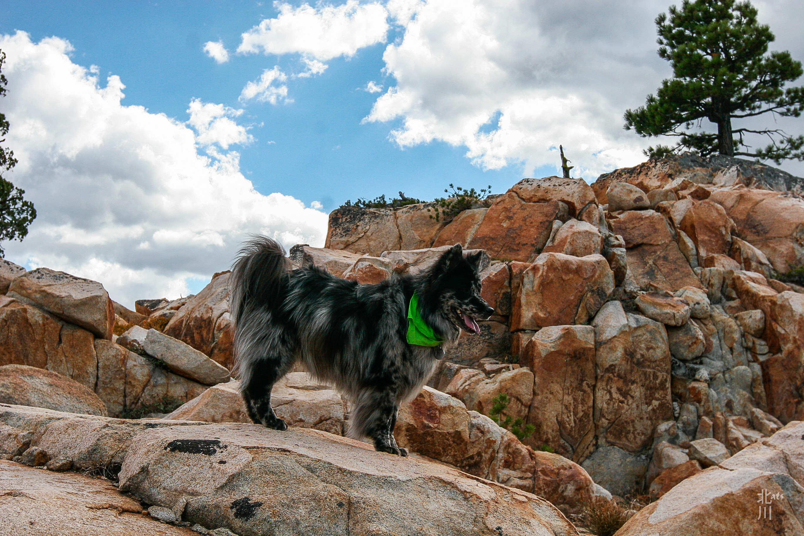
 I love hiking with my dog. She has so much fun, you can see it in her face when she’s in the forest. Although, this day hike there wasn’t as much scenery with the low cloud cover. It didn’t stop my pup from exploring and having a great time.
Mt. Rose Trailhead
 Last weekend, headed up to the Mt. Rose trailhead to hike up to Galena Falls. From the beginning of the trail you can see Lake Tahoe through the clouds and Tahoe Meadow just below in gold. The gold tones of Fall are just starting to peep in the mountains.
Trailblazing Pup
 Going here and there in search of vermin, the trailblazing pup!
PCT North
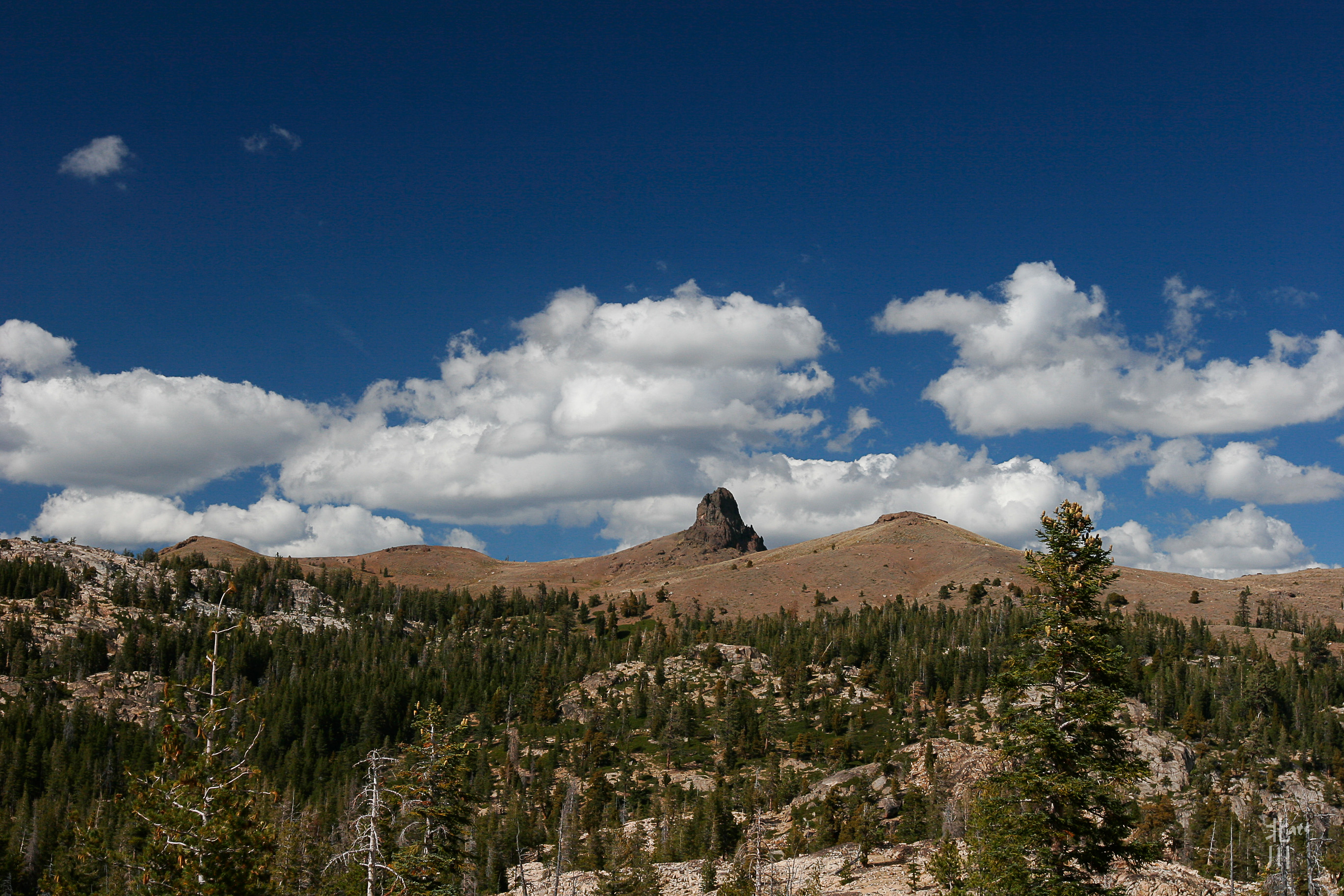 Off of Blue Lakes Road is Tamarack Junction. It is a crossroads for the PCT. North takes you to Carson Pass and South will take you to Ebbetts Pass near Hwy 4.
Freel Peak

Freel Peak (Washo: dewgulum dakʔak[3]) is a mountain located in the Carson Range, a spur of the Sierra Nevada, near Lake Tahoe in California.
The peak is on the boundary between El Dorado County and Alpine County; and the boundary between the Eldorado National Forest and the Humboldt-Toiyabe National Forest.[4] At 10,886 feet (3,318 m) it is the tallest summit in the Carson Range, El Dorado County and the Tahoe Basin.[2] Due to its elevation, most of the precipitation that falls on the mountain is snow.[5]
In 1893, the U.S. Geological Survey assigned the name Freel Peak to what was then known as Jobs Peak. James Freel was an early settler in the area.
Above Hope Valley
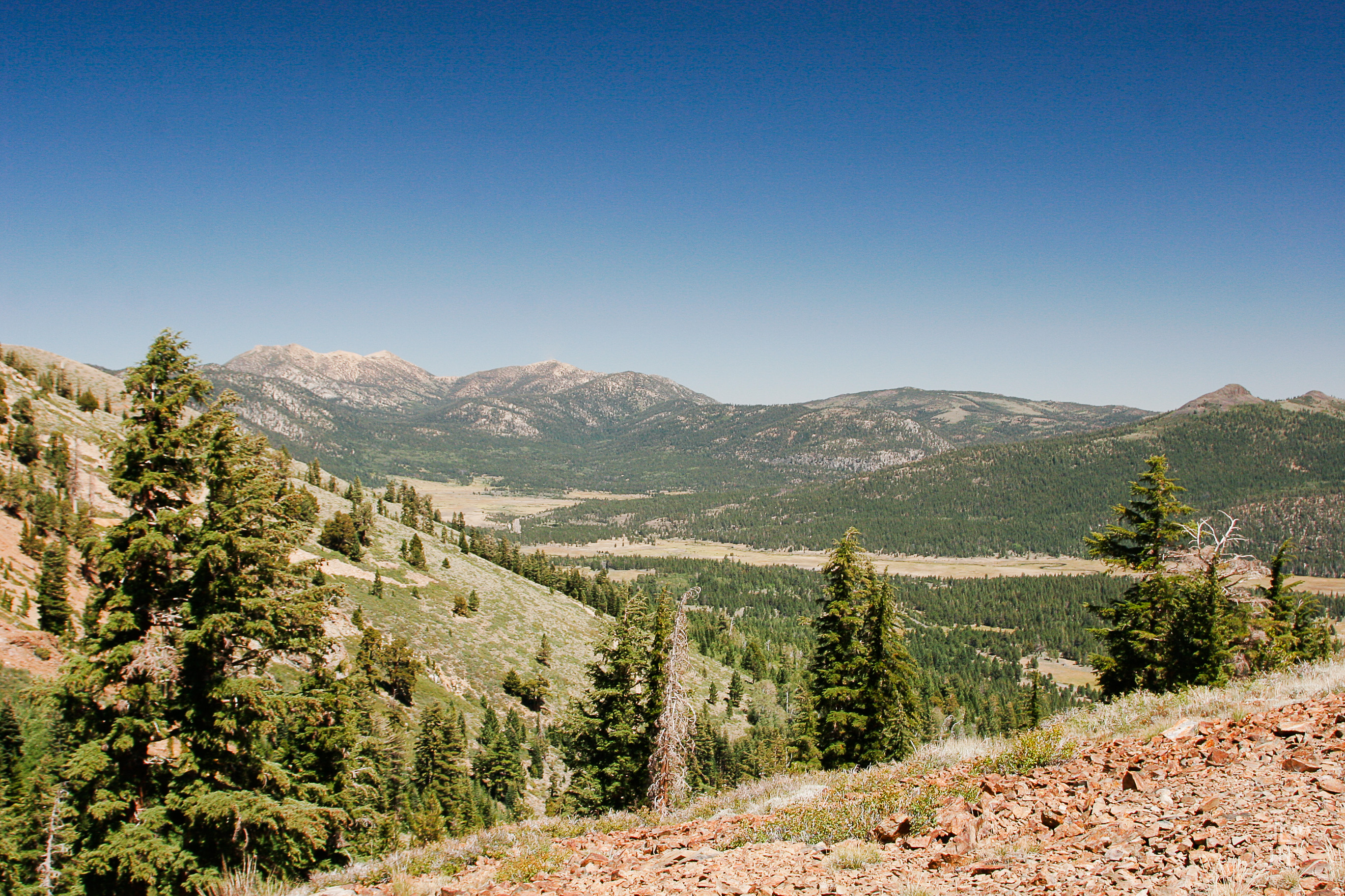 From a ridge near Crater Lake, you can see Hope Valley below. That’s Pickett Peak and Hawkins Peak to the left.
Hello, down there…
 To give you an idea of the trail we came down. I’m above on a switch back taking photos while my sister hikes ahead of me.
